


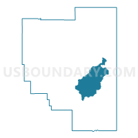
Hub Voting District, Marion County, Mississippi
About
Outline

Summary
| Unique Area Identifier | 606224 |
| Name | Hub Voting District |
| County | Marion County |
| State | Mississippi |
| Area (square miles) | 34.67 |
| Land Area (square miles) | 33.80 |
| Water Area (square miles) | 0.87 |
| % of Land Area | 97.50 |
| % of Water Area | 2.50 |
| Latitude of the Internal Point | 31.16688300 |
| Longtitude of the Internal Point | -89.75376720 |
Maps


Graphs
Select a template below for downloading or customizing gragh for Hub Voting District, Marion County, Mississippi


Neighbors
Neighoring Voting District (by Name) Neighboring Voting District on the Map
- Balls Mill Voting District, Marion County, MS
- East Columbia Voting District, Marion County, MS
- Pine Burr Voting District, Marion County, MS
- Union Voting District, Marion County, MS
Top 10 Neighboring County Subdivision (by Population) Neighboring County Subdivision on the Map
- District 1, Marion County, MS (5,543)
- District 4, Marion County, MS (5,435)
- District 5, Marion County, MS (5,434)